

-
Welcome to 4Runners.com!
You are currently viewing as a guest! To get full-access, you need to register for a FREE account.
As a registered member, you’ll be able to:- Participate in all 4Runner discussion topics
- Transfer over your build thread from a different forum to this one
- Communicate privately with other 4Runner owners from around the world
- Post your own photos in our Members Gallery
- Access all special features of the site
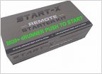 2023 SR5 remote start
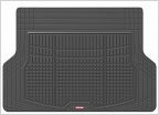 Cargo mat Rec's
 Research: Sleeping, fold-flat-ability, hump, 2 vs 3 row?
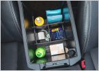 What have you done with your 4runner today....
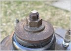 Professional vs at home lift install
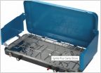 Eureka Camping stove and grill
5th gen 4Runners in scenic locations
Discussion in '5th Gen 4Runners (2010-2024)' started by ManBeast, Dec 21, 2018.
Page 136 of 156
Page 136 of 156
Products Discussed in


